Vantage Points of Water
Taryn Borelli

Julie Moir Messervy observed that children experience seven different vantage points throughout their development: sea, cave, harbor, promontory, island, mountain, and sky. This design focuses on applying these different vantage experiences to the site in order to highlight key issues and aspects of water. The aspects that are highlighted in this design include: water quality, erosion, flooding, and the cultural, religious and social significance water has in our lives. This design proposal includes: constructed wetlands, a multi-purpose pavilion, erosion-viewing hammocks and two pedestrian bridges. The pedestrian bridges will link the two banks of the Kansas River together as well as create a stronger relationship between downtown Manhattan, the river, the trail system, and Fairmont Pa

Figure 9.1 Site Plan
The pedestrian bridge on the left connects the Train Depot to Linear Trail while the pedestrian bridge on the right spans the Kansas River to connect the two sides.

Figure 9.2 Two Pedestrian Bridges
This view shows the multi-purpose pavilion and its adjacent patio where different events can be held such as Chinese New Year’s, Cinco De Mayo, Easter, and common celebrations such as birthdays and anniversaries. Th e interior of the pavilion is complete with different seating options, a mihrab, an Ark, and a tabernacle, making it adaptable for different religious events. Th is pavilion is nestled into the hill and backed by trees creating a harbor experience with a view.
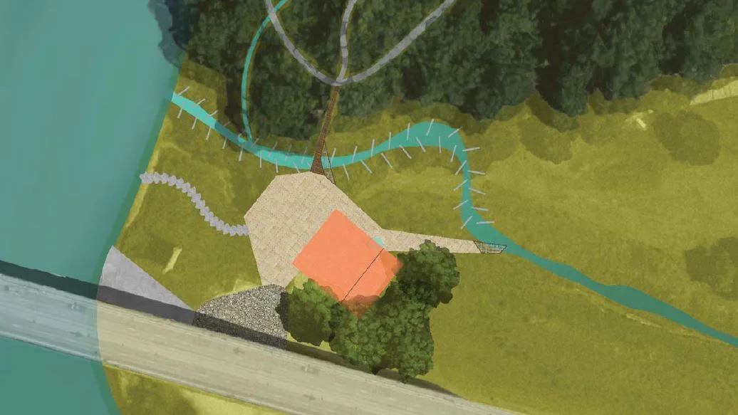
Figure 9.3 Birds Eye View
The stepped form of the Eriosion-Viewing Deck makes it accessible at different water heights. From the deck, visitors will be able to see the existing erosion around the stormwater drainage pipe as well as artful solutions. These artful solutions will also be implemented on the banks throughout the site. With the deck slightly cantilevered over the water, people will be able to experience the promontory experience as well as view the river and the opposite bank.
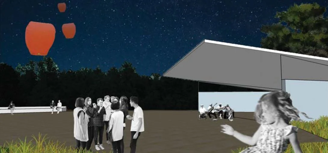
Figure 9.4 lanterns
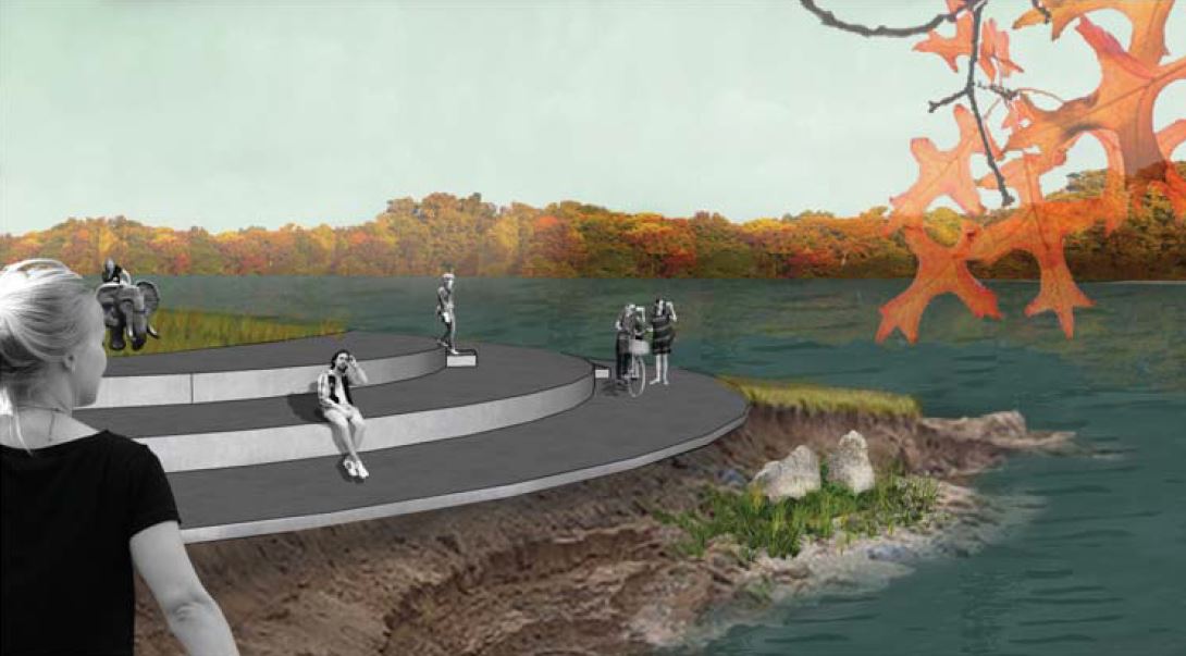
Figure 9.5 Viewing Deck
References
Figure 9.1:
Borelli, Taryn. 2017. Site Paln. Source data: Google. 2016. Google Maps. Manhattan, Kansas. [map]. 800ft to an inch. Found online: Google.
Figure 9.2:
Borelli, Taryn. 2017. Two Pedestrian Bridges. Google Earth: Google.2016. Google Earth. Manhattan, Kansas. [map]. no scale. Found online: Google.
Figure 9.3:
Borelli, Taryn. 2017. Focus Plan of the Pavilion Area. Source data: Google. 2016. Google Maps. Manhattan, Kansas. [map]. 100ft to an inch. Found online: Google.
Figure 9.4:
Borelli, Taryn. 2017. Pavilion. Digital Rendering.
Figure 9.5:
Borelli, Taryn. 2017. Erosion-Viewing Deck. Digital rendering.